
YOU ARE HERE
Near Natural Tunnel


Upcoming Destinations

The Netherland Inn
STOP 1

Netherland Inn – (Long Island)

📍
0 miles away

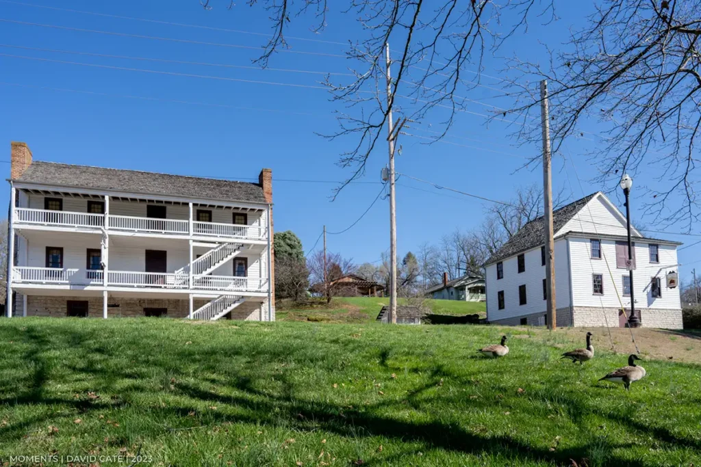
Long Island on the Holston, or Hogohegee River was the sacred treaty ground to the Cherokee. It is the western terminus of the Reedy Creek Road, which carried the Great Warriors’ Path from Bristol to Kingsport, and is first mentioned in 1749 when Dr. Thomas Walker met Samuel Stalnaker on this trail. The first real […]
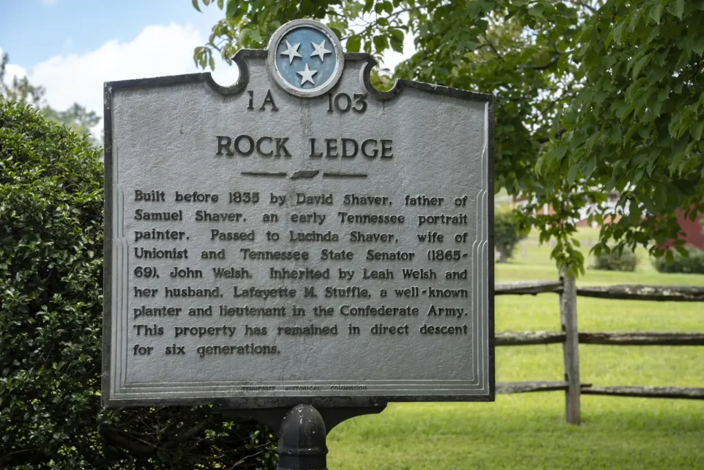
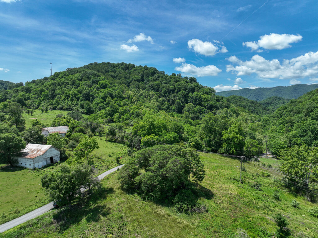
The Great Warrior Path - Rock Ledge
STOP 2

Bloomingdale Rd. (Great Warrior’s Path)

📍
0 miles away

You are traveling on the ancient Great Warriors Path, the most significant Indian and pioneer trail in the Eastern United States. The Eastern end began in a fanned out pattern in numerous places in the Northeastern United States in the land of the Iroquois and Delaware. It came down the Great Valley of Virginia and […]

STOP 3

Anderson Blockhouse

📍
0 miles away

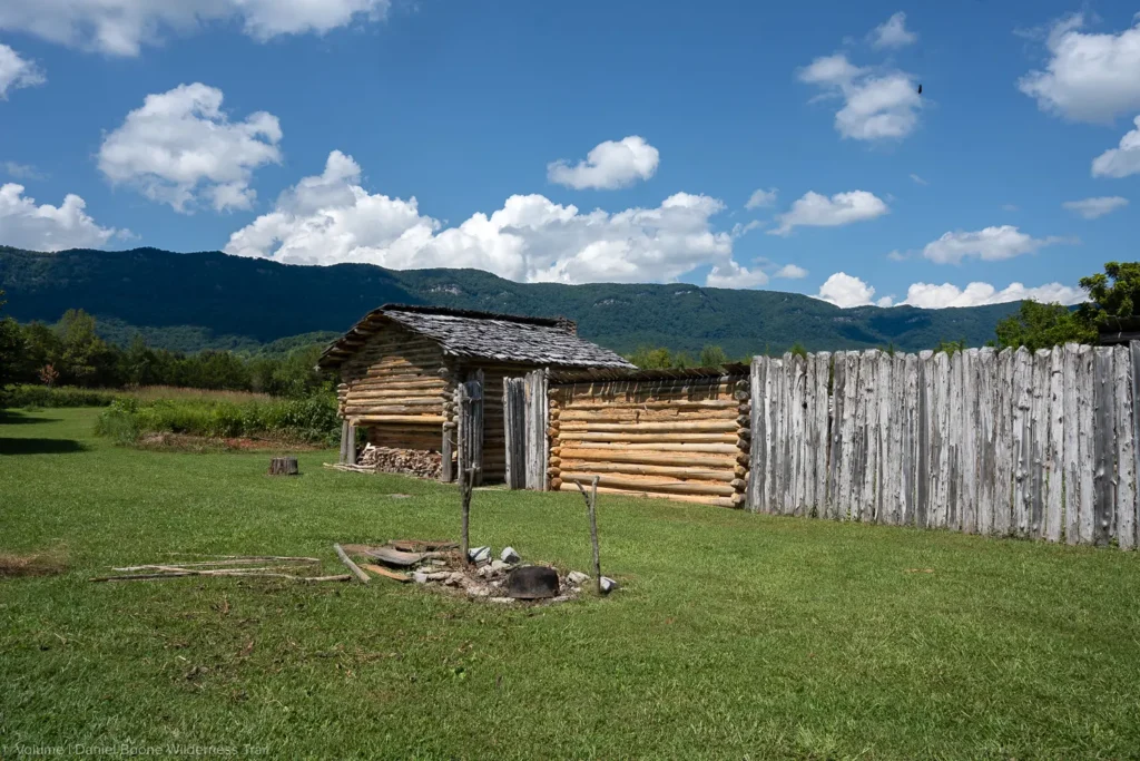
On the knoll to the northeast of this intersection John Anderson built his blockhouse sometime before 1775. A blockhouse was a specialized log cabin built of squared logs, and with an upper story that extended out overhanging the walls of the lower structure. The squaring of the timbers made them fit tightly together so as […]

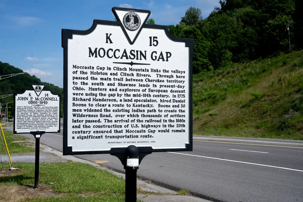
Moccasin Gap Marker in Gate City, Virginia
STOP 4

Mocassin Gap

📍
0 miles away

Moccasin Gap in Clinch Mountain is one of two ground level water gaps leading from the western reaches of the Great Valley of Virginia into the interior of the Alleghenies, the other being the Narrows of the New River. The two main trails of the central Appalachians joined for a short distance to make the […]

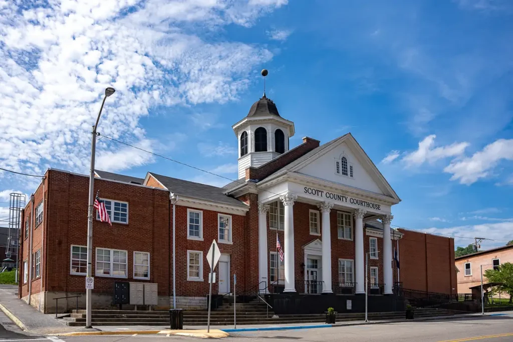
Scott County Courthouse, Gate City, VA
STOP 5

Scott County Courthouse – (Farris’s Station)

📍
0 miles away

Truly the gateway into the interior of the Alleghenies and to the Transalleghenay country, this site was a trail hub in Indian and in pioneer days. The Daniel Boone Wilderness Trail went west along the road you are using and to the head of Little Moccasin Creek. A less significant trail ran to the northwest […]

STOP 6

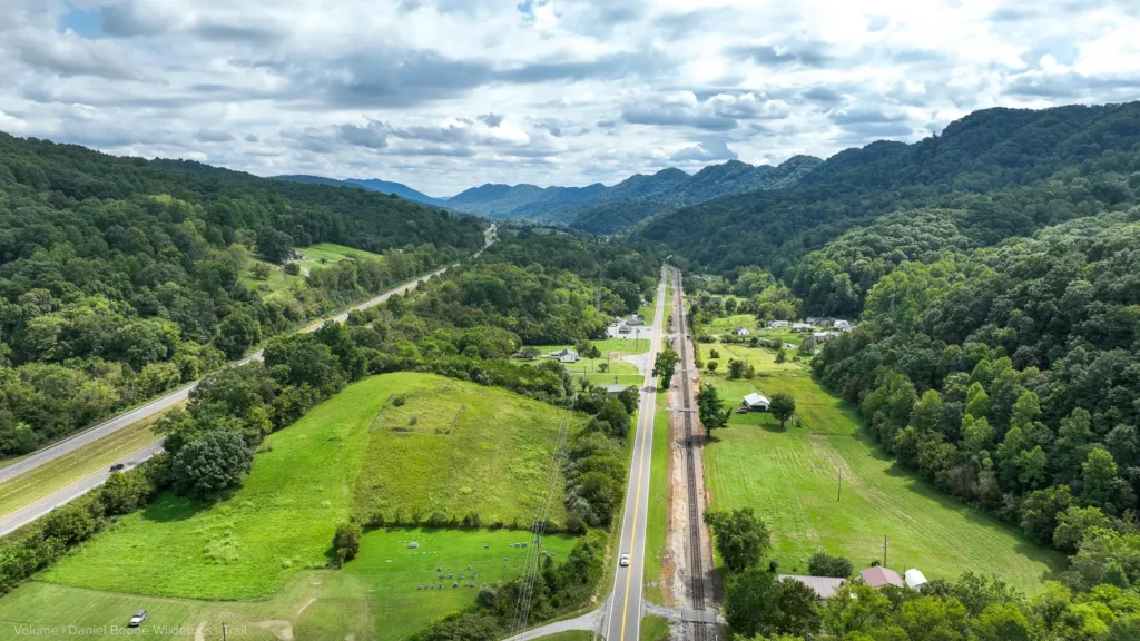
Daniel Boone, Va.

📍
0 miles away

This railroad yard and the community that has sprung up around it is the only place in Virginia named after Daniel Boone. The road that you are traveling on is the paved Daniel Boone Wilderness Trail. Traditionally he drank out of a spring here. Boone was born in 1734 near Reading, Pennsylvania. As a youth […]

STOP 7

Speer’s Ferry

📍
0 miles away

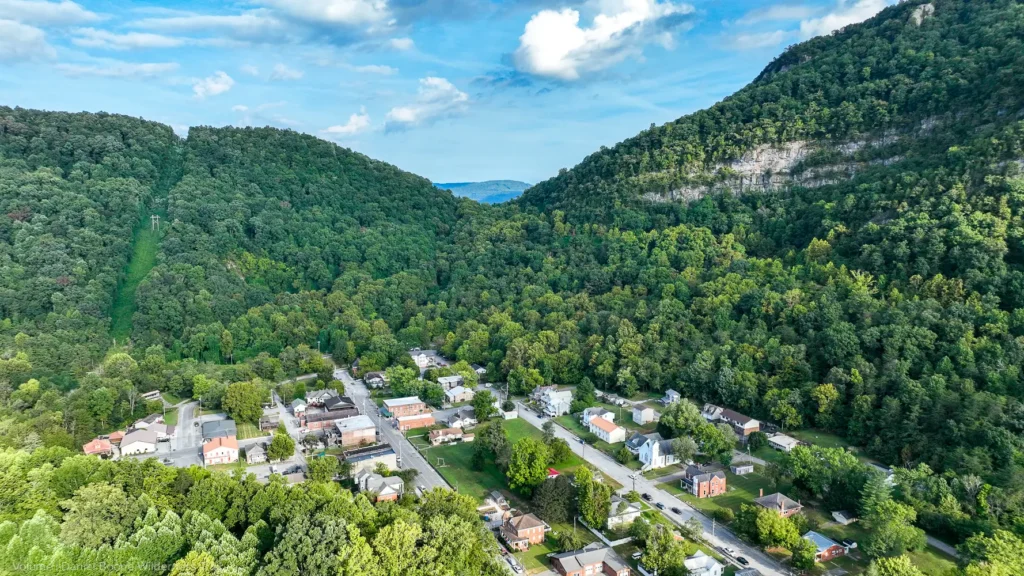
You are at the mouth of Troublesome Creek, whose passage was so troublesome to the pioneers that the Boone Wilderness Trail could not come down it. Originally the gorge behind you afforded passage only for the creek itself. The passage for the current road and railroad is the result of considerable blasting. Back up the […]

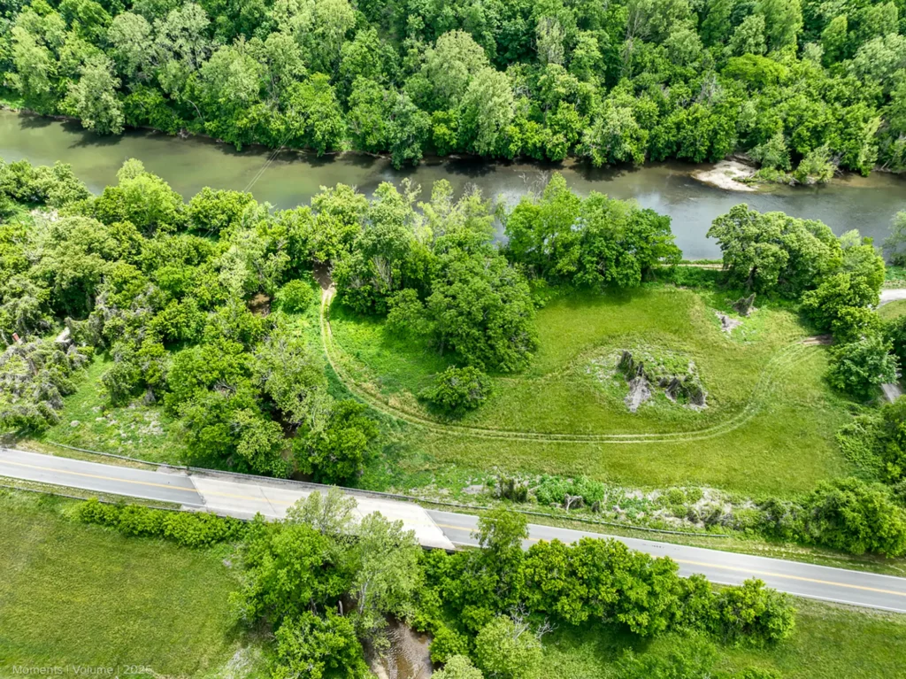
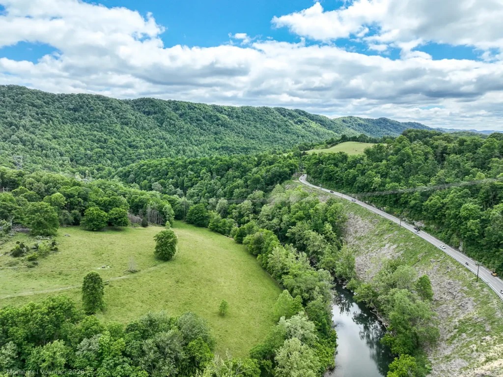
Stock Creek aerial along The Daniel Boone Wilderness Trail taken on May 14th, 2026
STOP 8

Stock Creek

📍
0 miles away

Clinchport was the head waters of flat boat navigation on the Clinch River, just as Kingsport was on the Holston. Not only did pioneer loggers build massive log rafts here in the winter to catch the Spring Tide to float their logs to mills at Chattanooga; but settlers farther up the Clinch would bring produce […]

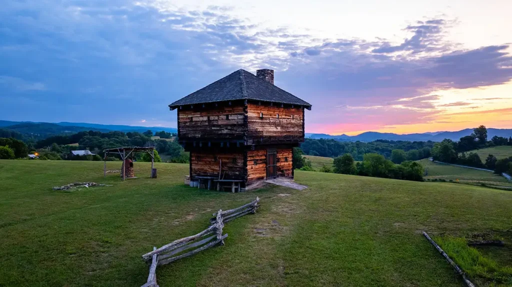
The Natural Tunnel Blockhouse
STOP 9

Natural Tunnel State Park

📍
0 miles away

In the oldest pioneer journals Natural Tunnel was called Natural Bridge. This was confusing because not only is there a more famous Natural Bridge in Rockbridge County east of Roanoke, Va., but the Wilderness Trail actually crosses a Natural Bridge west of here in Lee County. Despite persisting legends to the contrary, the pioneers on […]

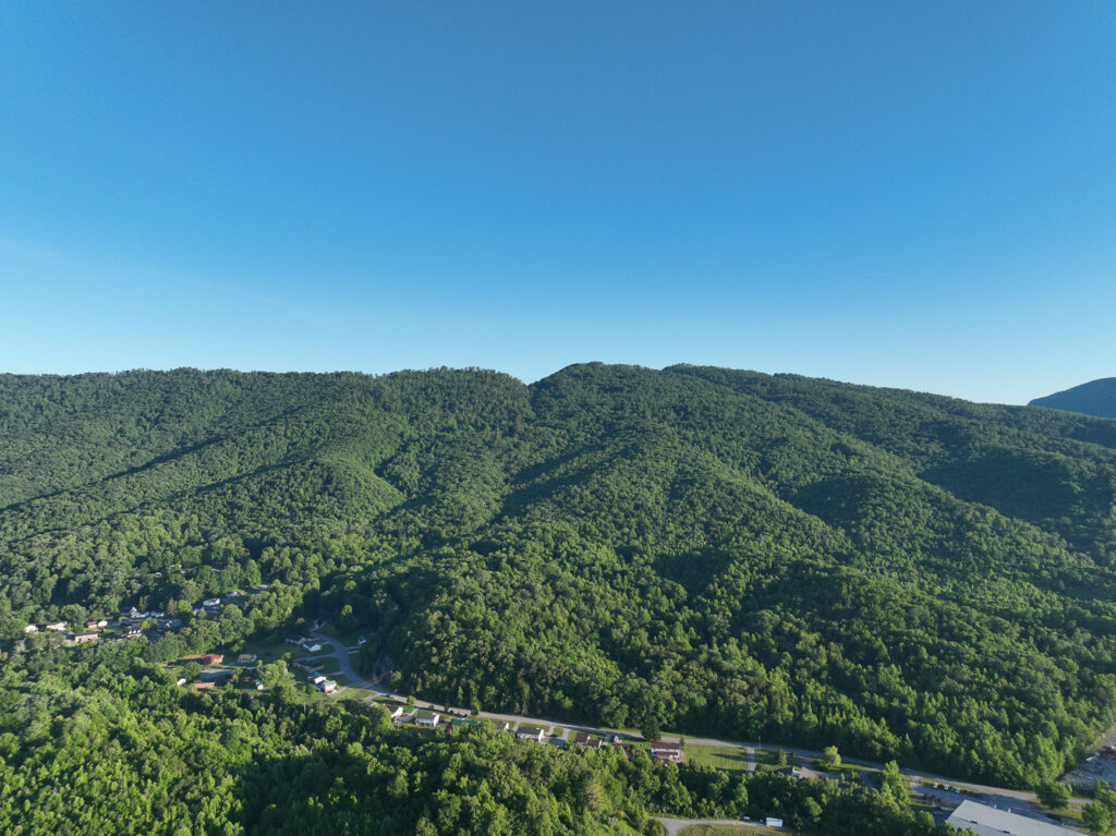
Kane Gap
STOP 10

Duffield, VA

📍
0 miles away

At the intersection of State #871 and US 23 you pick up the major short cut of the Boone Wilderness Trail, the “Devil’s Race Path”. It left the main trail on the other side of the ridge at the point where you left US 23 to go to Natural Tunnel. As the wagons labored up […]

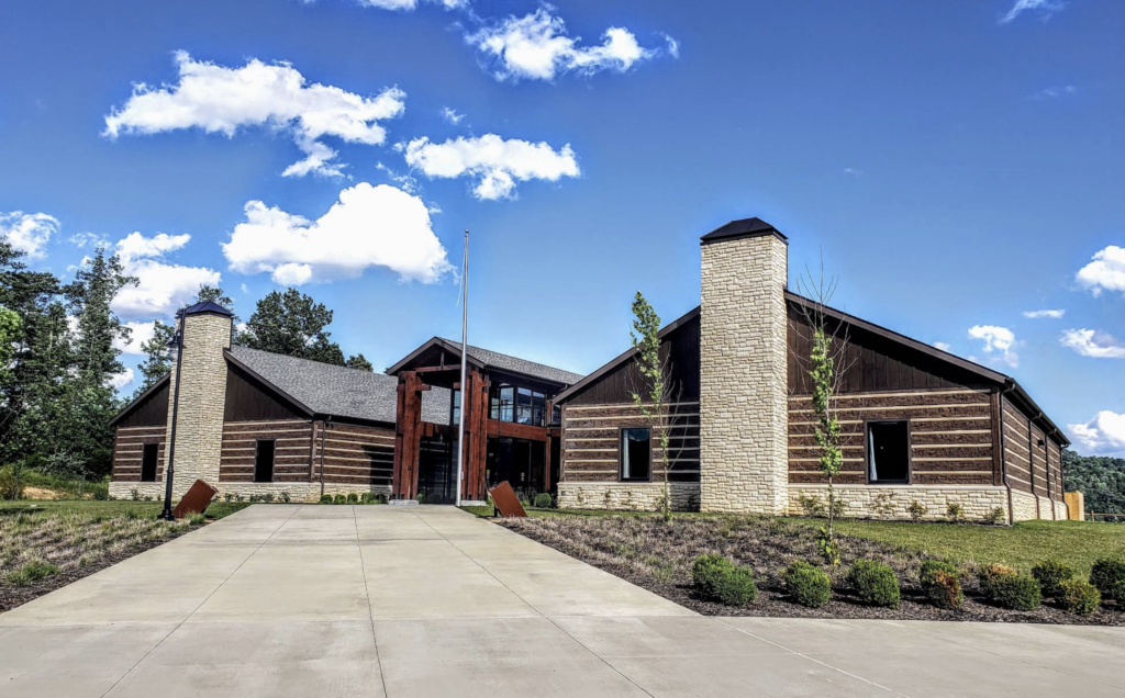
Daniel Boone Wilderness Trail Interpretive Center
STOP 11

Daniel Boone Interpretive Center

📍
0 miles away

The Daniel Boone Wilderness Trail Interpretive Center brings the story of America’s westward expansion to life in the landscape where much of it happened. Located near the historic route of the Wilderness Road in Duffield, Virginia, the center explores the people, places and events that shaped the trail—from Daniel Boone and the early pioneers to […]

STOP 12

Powell Mountain Overlook

📍
0 miles away

To the north of here, you can see the beautiful Valley of Wallen’s Creek, which forms in a basin at the juncture of Wallens Ridge, which lies ahead of you, and of Powell Mountain, which is where you are. The northern end of Kane Gap is at its head, and the Boone Wilderness Trail winds […]

STOP 13

Stickleyville School – James Boone Massacre

📍
0 miles away

The killing of the son of Daniel Boone, James, occurred in this Wallen’s Creek Valley in 1773. Daniel and his family were migrating to Kentucky, and had persuaded William Russell of Castlewood to do so also. On September 25, 1773 they set out, and upon reaching Wolf Hills at present Abingdon, Daniel dispatched his seventeen […]

DOT Intersection between Duffield and Jonesville
STOP 14

DOT Intersection

📍
0 miles away

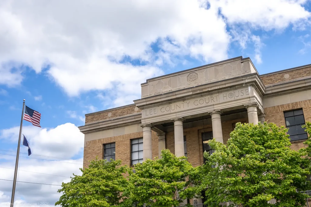
At the intersection of State Route #638 two miles to the west, was located the western-most outpost of the Holston Militia to remain garrisoned during the Revolutionary War. Manned by a company of Rangers who patrolled Powell Valley, this outpost was built in 1775 or 1776. It was referred to by an assortment of names; […]

Powell River Bridge
STOP 15

Powell River Bridge

📍
0 miles away

Downstream from here are the two fords crossing the main Powell River. One can still clearly see the two trails coming down the hill to your left on the eastern bank of the river. The most obvious one, which sweeps in a gentle descent across the face of the hill from north to south, is […]

STOP 16

Jonesville Courthouse

📍
0 miles away

Mump’s Fort stood at the top of the hill where the court house now is. It was built by William Mumps in 1775 in a community then known as ‘Glade Spring’, or as ‘Sinking Springs’. George Rogers Clark, who later conquered the Old Northwest Territory during the Revolutionary War, spent the night here on his […]

STOP 17

Near Dr. Still’s Birthplace

📍
0 miles away

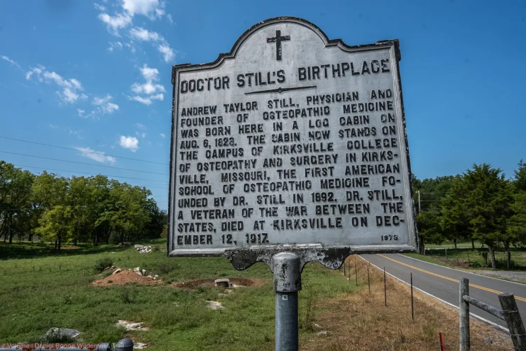
The typical emigrant making his way to Kentucky along this Trail in the time of Boone usually was of a specific background. Like Boone, himself, he was part of the greatest mass migration to have occurred in Colonial North America and in the years following the Revolution. Their forbears had come from the Border Country […]

STOP 18

Natural Bridge

📍
0 miles away

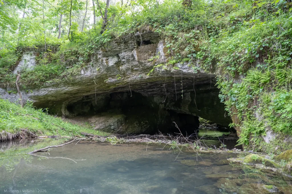
An entry in the journal of Henry Hamilton identifies this segment of the Daniel Boone Wilderness Trail with its description of this natural formation. The Trail and the current road you are traveling on pass over the creek making use of a natural limestone bridge. With the outbreak of the American Revolution, Britain opened up […]

Placeholder Image
STOP 19

East Of Flatwoods

📍
0 miles away

The Indian tribes that were most concerned with the passage of settlers down the Boone Wilderness Trail and their settlement of Powell Valley and of Kentucky were the Cherokee and the Shawnee. The Cherokee were the most powerful and numerous of the tribes in the Southeast. Their domain at its greatest spread over southwest Virginia, […]

Wilson Hill
STOP 20

Wilson Hill

📍
0 miles away

Little is known about Priest’s Fort, which was built somewhere on this section of the Trail. Built is 1775, it was abandoned the next year along with all the other forts in Lee County west of Rocky Station. Forts were of different types. First was the stockaded fort, familiar to us from cowboy movies. These […]

Silver Leaf Virginia
STOP 21

Silver Leaf

📍
0 miles away

The community of Silver Leaf is the only site on the Boone Wilderness Trail actually named by Daniel Boone. He camped here and named the area Silver Maple because of the trees that he admired growing here. In the early 1800’s, Eli Davis, a local nurseryman, changed the name to Silver Leaf because he thought […]

White Rocks West of Ewing
STOP 22

West of Ewing

📍
0 miles away

The white rock cliffs atop Cumberland Mountain to the right were among the most commonly mentioned geographic features recorded in the journals of the emigrants along the entire length of the Trail. The pioneers seemed to take them as a hallmark of the wonderful new land that they were claiming as their own. The term […]

East End of The Bike Trail, Near Karlan, VA
STOP 23

East End of Bike Trail

📍
0 miles away

Here is the eastern end of a bike trail that follows the old rail bed of the Louisville and Nashville Railroad on westward toward Cumberland Gap. In this beautiful setting it is hard to imagine the horrors that occurred in this beautiful valley during the Great Cherokee War of 1776-1794. This terrible war was both […]

Martin's Station
STOP 24

Karlan

📍
0 miles away

A little to the east you have just passed through Gibson’s Station built by George Gibson in 1785. It did not play a significant role in the Indian conflicts. A little to the west, where the Boone Wilderness Trail ducks into Tennessee for a short distance along State #694, the Virginia State Militia built its […]

Cumberland Gap
STOP 25

Cumberland Gap

📍
0 miles away

One of the most significant of the several historic gaps or passes along routes of settlement in the United States, Cumberland Gap stands alone east of the Mississippi. Its location determined the route of travel of people from Georgia to New York; from Arkansas to Illinois. Only the Ohio River can compare with its significance […]