
Mocassin Gap
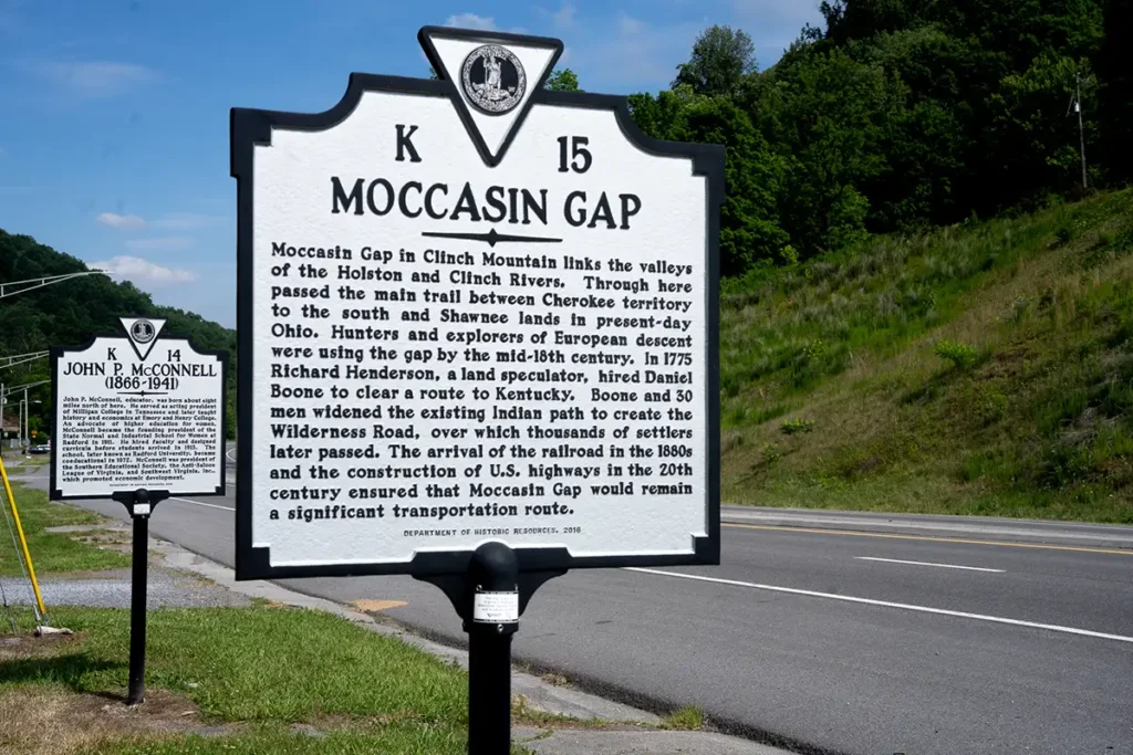
Moccasin Gap in Clinch Mountain is one of two ground level water gaps leading from the western reaches of the Great Valley of Virginia into the interior of the Alleghenies, the other being the Narrows of the New River. The two main trails of the central Appalachians joined for a short distance to make the passage through Moccasin Gap. The most important one was the Great Warrior’s Path, or the Wilderness Trail, or alternately the Daniel Boone Trail. Little known today, but of great significance during Indian times, is the main trail connecting the Cherokee Country with that of the Shawnee in Ohio. This last trail ran from the Smokies through Moccasin Gap to Big Stony Creek to High Knob, Pound Gap, Elkhorn Creek, The Big Sandy River, and across the Ohio River.
The British Government in the Treaty of Fort Stanwix in 1768 secured the land north of here from the Iroquois. However, the Shawnee and the Cherokee also claimed this land, so the British extinguished the claim of the Cherokee by the Treaty of Lochaber in 1770. In this treaty, a survey line was run by John Donalson from Moccasin Gap to Point Pleasant at the mouth of the Kanawha River, in West Virginia. Donalson’s Indian Line guaranteed the land to the west of it to the Indians, and opened the land to its east to settlement.
The American settlers pouring through Moccasin Gap and into Kentucky violated this treaty, and led the Shawnee to start Lord Dunmore’s War in 1774. Their loss of this war at the Battle of Point Pleasant had the practical effect of extinguishing their claim to the route of the Wilderness Trail, but they continued to wage war on the Kentucky settlements until the War of 1812.
During the prolonged Cherokee Wars from 1777-1794 Moccasin Gap was a favorite site used by the Cherokee, who most commonly were lead by Chief Benge, to ambush the settlers using the Trail.