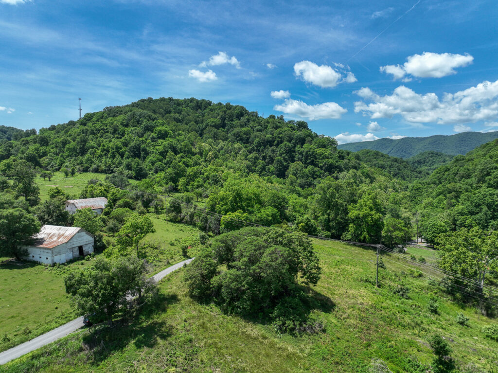
Anderson Blockhouse
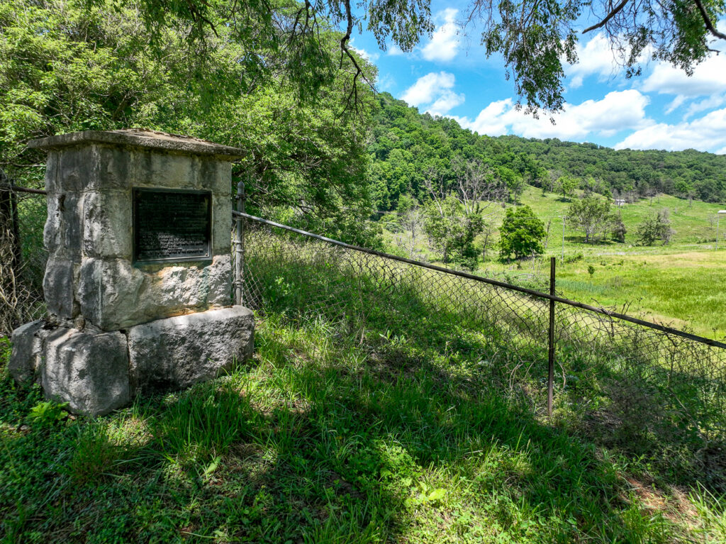
On the knoll to the northeast of this intersection John Anderson built his blockhouse sometime before 1775. A blockhouse was a specialized log cabin built of squared logs, and with an upper story that extended out overhanging the walls of the lower structure. The squaring of the timbers made them fit tightly together so as to leave no space for an adversary to shoot through into the interior of the structure. Since the favorite way to get someone who was barricaded within a log cabin to come out was to set fire to it, the overhanging upper story afforded the opportunity to shoot down on anyone attempting to set the lower building on fire. Blockhouses were used as fortified strong points by the military all across Eastern North America.
The Anderson Blockhouse functioned as a collecting place for individual pioneers until a party of sufficient size was assembled to make the passage down the Wilderness Trail reasonably safe. It was the last contact with the Holston Settlements, and even though a few forts existed beyond this point, it really defined the frontier.
After having gathered his thirty ax men at Fort Patrick Henry, it was here at the Blockhouse that Boone began to blaze the trail into Kentucky, and forevermore lend his name to what had been known as either the Great Warrior’s Path, or as the Wilderness Trail.
The trail went north past the Blockhouse on state route #606 to the ford just upstream from the present swinging bridge. This is the only potential route from Carter’s Valley to a shallow place to ford the river that was not blocked by a steep riverbank. The Anderson Blockhouse served as a cork in the bottleneck on the Great Warrior’s Path that this location represented, and was in an excellent position to intercept the passage of hostile Indian parties coming east on the trail.
After gaining the river the trail followed it downstream, swinging first from one bank to the other, taking advantage of low ground where it could. Even today, in periods of low water one can still see the trail from the road on the north bank of the river. The trail regained the north bank near the present river bridge, down stream about three quarters of a mile. From here it followed State #701 to US 58A. Where it traversed Pine Ridge just before is came to this intersection, the Boone party had to dig the road into the side of the hill, the only excavation that they did on their entire project. To this day, this segment of the Boone Trail is known locally as “The Dug Road”.