
Karlan
A little to the east you have just passed through Gibson’s Station built by George Gibson in 1785. It did not play a significant role in the Indian conflicts.
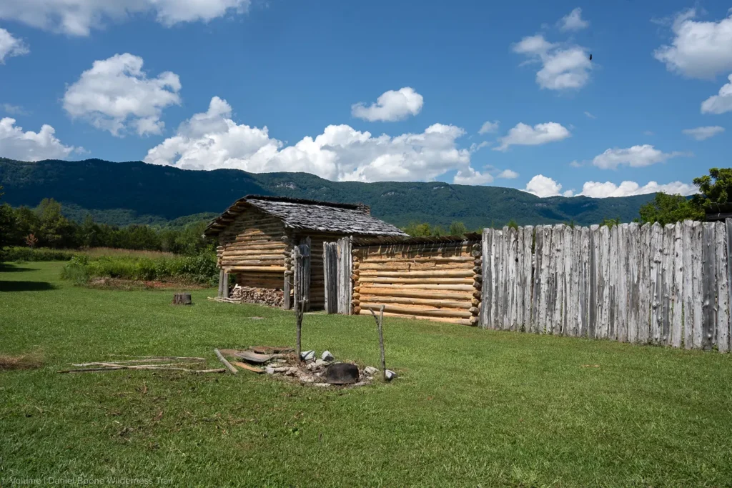
A little to the west, where the Boone Wilderness Trail ducks into Tennessee for a short distance along State #694, the Virginia State Militia built its westernmost fortification in 1783. It was built by General Joseph Martin and was a blockhouse.
The creek that arises from the fort’s spring is called Station Creek and is the second so-named creek in Lee County. The fort was known as Martin’s Lower Station, and its purpose was to block Indian incursions from Cumberland Gap into Powell’s Valley.
Documentation exists of the garrison here having been maintained as late as 1791, but it probably did not close until the end of hostilities in 1794.
At this point, the Trail followed the right-of-way of the L & N Railroad to Shawnee Community, and then via Colwyn Street into the Town of Cumberland Gap. From here, it passed the old Iron Furnace that is maintained by the U.S. Park Service and continued onto the present Park Service trail over the gap.
You can walk the original unpaved trail from the furnace to the top of the Gap.