
Natural Tunnel State Park
In the oldest pioneer journals Natural Tunnel was called Natural Bridge. This was confusing because not only is there a more famous Natural Bridge in Rockbridge County east of Roanoke, Va., but the Wilderness Trail actually crosses a Natural Bridge west of here in Lee County. Despite persisting legends to the contrary, the pioneers on the Wilderness Road did not traverse the tunnel, which before being enlarged by the railroad, ended with a water siphon at its upstream end. You are still actually on the main route of the old trail now.
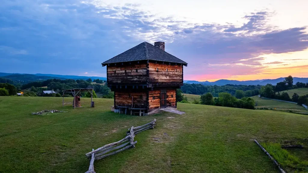
State 646 ahead and to the right of you actually crosses the tunnel, and takes you to the site of the old fort in Rye Cove, called either Chrisman’s or Carter’s Fort. During the last years of the Revolution, it was the command center for the Holston Militia, then commanded by General Joseph Martin. In April 1777, Chief Benge of the Chickamauga Cherokee began his seventeen-year reign of terror directed at this region with his attack on this fort. Even though there were small garrisons along the Trail to the west, Carter’s Fort was the lynch pin that held not only the line of forts up the Clinch and which protected the settlements along the Holston, but also protected Kentucky. Stock Creek, which carved out Natural Tunnel, comes out of Hunter’s Valley, named because it was a favorite hunting ground for the Long Hunters, who were the first Europeans to frequent this region. Named for their habit of taking hunts that could last a year or more, they found this valley filled with the eastern woodland buffalo, elk, and deer.
As you proceed on up the Wilderness Trail you will regain Stock Creek. The first bridge across it from the right is the route of the second most important ancient trail in Southwest Virginia, called either “The Fincastle to Cumberland Gap Trail, or the “Clinch Valley Branch of the Wilderness Trail”. An emigrant finding himself heading west from the James River Valley at Fincastle, Virginia had the choice of either coming down the Warrior’s Trail to this point, or of taking the more northern trail through Narrows, Bluefield, Tazewell, and to Castlewood. There this trail picked up an alternate route of the Warrior’s Path or Wilderness Trail that left the main route of that Trail at Abingdon and came to Castlewood through Little Moccasin Gap. This was the route taken by James Boone on the trip on which he was killed. The road continues on down the Clinch Valley through Rye Cove, to intersect the Boone Wilderness Trail here.
Pioneers might choose this route over the Warrior’s Path because it avoided the significant grade of Christiansburg Mountain, and the descent and ascent in and out of the Holston Valley. In the 1830’s the State of Virginia built a toll road over this route from Fincastle. Its road bed and a way station site can still be seen in Rye Cove.