DOT Intersection
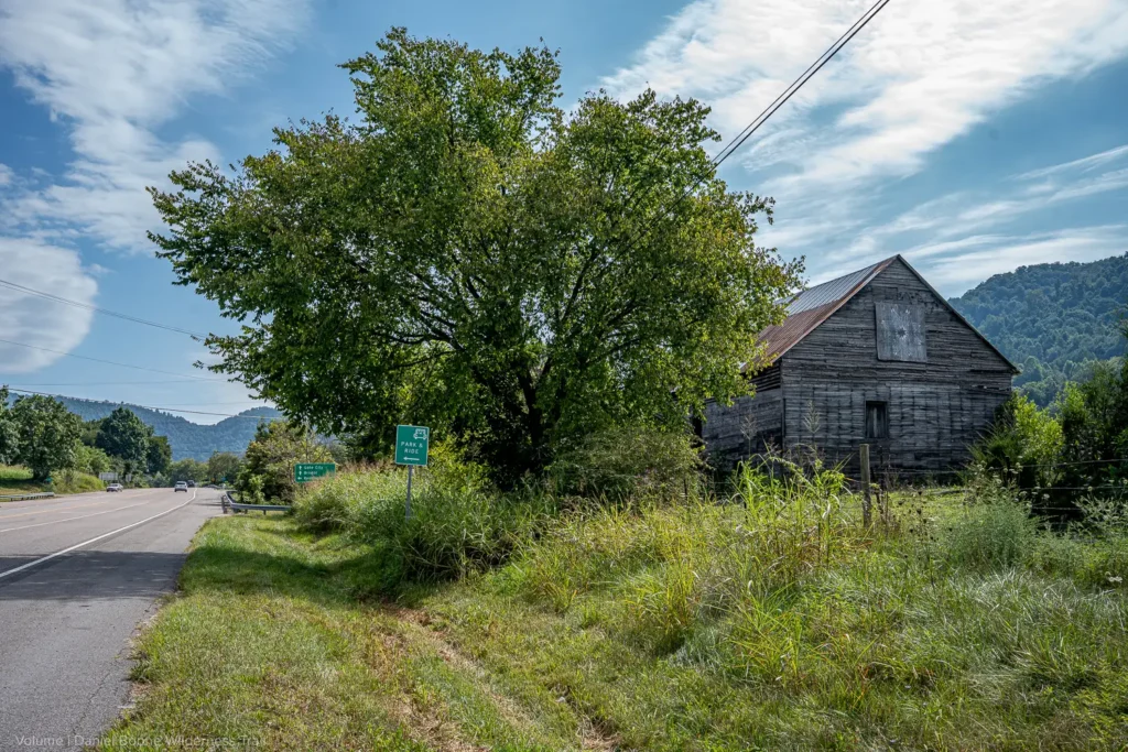
At the intersection of State Route #638 two miles to the west, was located the western-most outpost of the Holston Militia to remain garrisoned during the Revolutionary War.
Manned by a company of Rangers who patrolled Powell Valley, this outpost was built in 1775 or 1776. It was referred to by an assortment of names; Rocky Station, Valley Station, Crissman’s Station, or Cocke’s Station. Built by Isaac Crissman, Jr., whose father was slain by Indians soon after building what later became known as Carter’s Fort in Rye Cove, its command in 1780 passed to Col. Charles Cocke. It was still garrisoned as late as 1791. It should not be confused with Crissman’s Fort, which was built by the father.
It was placed on the main intersection in Powell Valley, where the trail going up Powell Valley split off from the Boone Wilderness Trail. It was significant enough that the earliest maps show it.
During the Indian wars connected with the American Revolution, the Holston Militia maintained a four tiered defensive structure, based on the idea of a forward defense.
The forts in the Holston Valley, such as Fort Patrick Henry, served as rear command and supply stations, with the forts in the Clinch Valley, such as Carter’s Fort, serving as the main fighting garrisons.
Ranger stations were maintained in Powell Valley. They functioned as rapid deployment forces, capable of reconnaissance in force. Their best known exploit was the slaying of Chief Benge in 1794 by the garrison of Yokum’s Station, located a few miles up the Valley from where you are.
Beyond these stations, scouts called spies were kept in groups of two or three and monitored the fords and passes in Kentucky. These intrepid men patrolled for months at a time, totally cut off from any support, and served as an early warning system.